


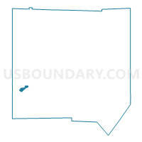
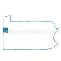
HERMITAGE VTD SW ED 02, Mercer County, Pennsylvania
About
Outline

Summary
| Unique Area Identifier | 661131 |
| Name | HERMITAGE VTD SW ED 02 |
| County | Mercer County |
| State | Pennsylvania |
| Area (square miles) | 0.92 |
| Land Area (square miles) | 0.92 |
| Water Area (square miles) | 0.00 |
| % of Land Area | 100.00 |
| % of Water Area | 0.00 |
| Latitude of the Internal Point | 41.22419380 |
| Longtitude of the Internal Point | -80.47024050 |
Maps

Graphs
Select a template below for downloading or customizing gragh for HERMITAGE VTD SW ED 02, Mercer County, Pennsylvania


Neighbors
Neighoring Voting District (by Name) Neighboring Voting District on the Map
- FARRELL VTD 01 ED 03, Mercer County, PA
- HERMITAGE VTD NE ED 01, Mercer County, PA
- HERMITAGE VTD NW ED 03, Mercer County, PA
- HERMITAGE VTD SE ED 01, Mercer County, PA
- HERMITAGE VTD SW ED 01, Mercer County, PA
- HERMITAGE VTD SW ED 03, Mercer County, PA
- SHARON VTD 04 ED 03, Mercer County, PA
- SHARON VTD 04 ED 05, Mercer County, PA
- SHARON VTD 04 ED 06, Mercer County, PA
Top 10 Neighboring County Subdivision (by Population) Neighboring County Subdivision on the Map
- Hermitage city, Mercer County, PA (16,220)
- Sharon city, Mercer County, PA (14,038)
- Farrell city, Mercer County, PA (5,111)
Top 10 Neighboring Place (by Population) Neighboring Place on the Map
Top 10 Neighboring Unified School District (by Population) Neighboring Unified School District on the Map
- Hermitage School District, PA (16,220)
- Sharon City School District, PA (14,038)
- Farrell Area School District, PA (5,743)
Top 10 Neighboring State Legislative District Lower Chamber (by Population) Neighboring State Legislative District Lower Chamber on the Map
Top 10 Neighboring State Legislative District Upper Chamber (by Population) Neighboring State Legislative District Upper Chamber on the Map
Top 10 Neighboring 111th Congressional District (by Population) Neighboring 111th Congressional District on the Map
Top 10 Neighboring Census Tract (by Population) Neighboring Census Tract on the Map
- Census Tract 314, Mercer County, PA (5,399)
- Census Tract 312, Mercer County, PA (5,384)
- Census Tract 309, Mercer County, PA (2,942)
- Census Tract 304, Mercer County, PA (2,690)
- Census Tract 313, Mercer County, PA (2,627)
- Census Tract 305, Mercer County, PA (2,420)
- Census Tract 311, Mercer County, PA (1,655)